
Whidbey Island / Tulip Festival 2022
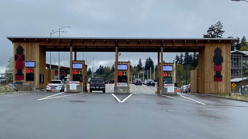
[From travelogue email sent . . . later this evening, actually]Mukilteo

Langley

Freeland

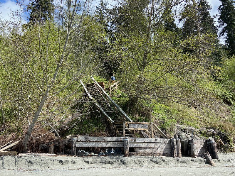
South Whidbey State Park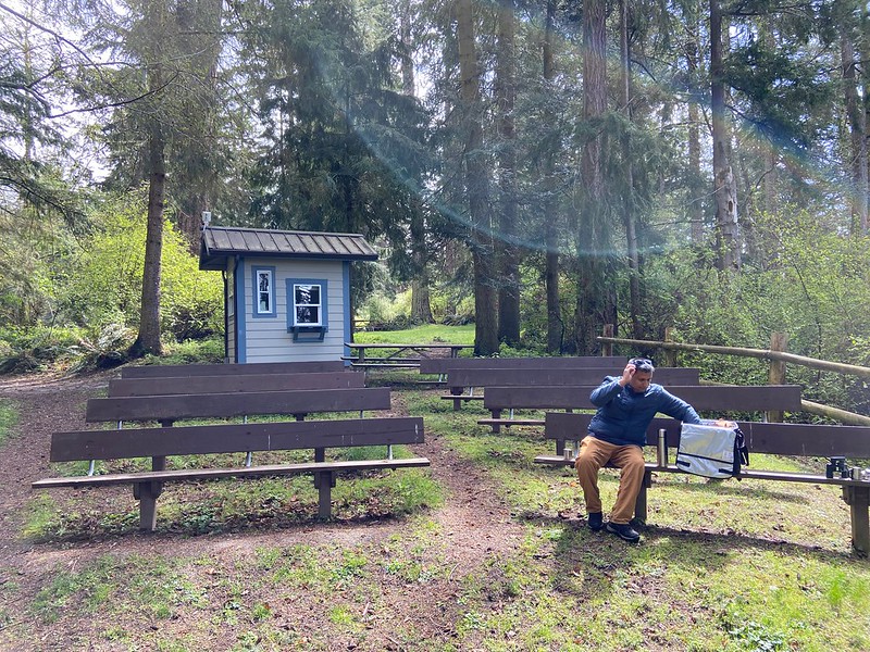
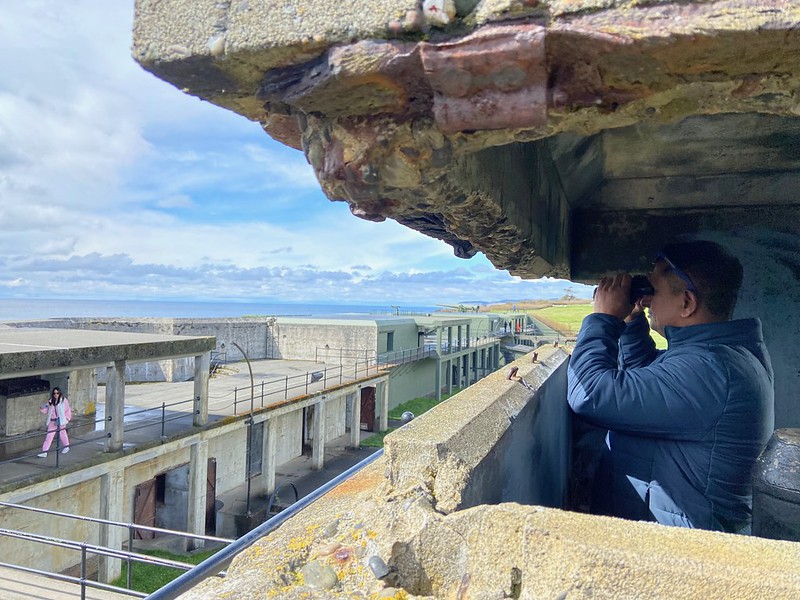
Fort Casey State Park

Fort Ebey State Park

Skagit Valley


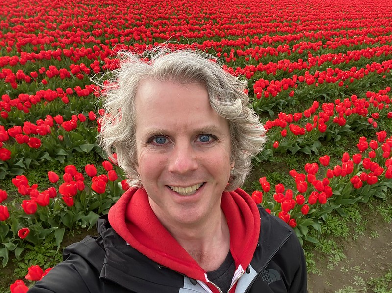
Tulips

Langley
Freeland
South Whidbey State Park
Fort Casey State Park
Fort Ebey State Park
Skagit Valley
Tulips